Services
ALTA
A land survey is made for the Title Company and/or Lender with the survey and location data needed for the issuing of title or mortgage insurance. For this purpose a map is drawn to “ALTA” specifications.
"ALTA" stands for American Land Title Association.
ALTA specifies the data to be shown on the survey and this includes boundary lines, location of the main building including improvements, location of ancillary buildings, the identification of easements (access rights by service companies such as water, gas, telephone, railways and other utilities).
ALTA surveys are very complex surveys and can cost tens of thousands of dollars and take weeks to complete. For that reason most ALTA surveys are performed on commercial properties.
Cell Site
As we move ever farther forward into the 21st century and absolutely everything becomes wireless and the amount of information we want to send grows, the means to carry that information forward becomes even more important. Most of us take for granted the freedom that the presence of cell towers allows us. But we’ve all encountered those areas were we can’t get a signal – there’s even a national advertising campaign about it. Portrayed as something out of a horror movie, those areas where calls are dropped are becoming fewer and fewer.
Few people, however, realize the work, planning, and negotiations that go into adding to the all-accessible, all the time way of life to which we’ve become accustomed. Land surveying is a crucial part of this process. For one of the oldest professions in the world, land surveying has branched out into a brave new world. Telecommunication Land Surveys are not a one-step process, but rather a multi-layered conglomerate of many different facets that must come together and be organized under one final report. Depending on the location of the proposed cell tower, different things must be taken into consideration.
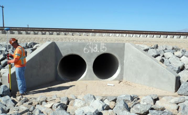
For a cell tower to be constructed on vacant land, a Raw Land Tower Site Survey must be completed, as well as a Boundary Survey. If the location is in a populated area, and to go on an existing building, then a Roof Top Communication Survey must be conducted. Co-Location Tower Surveys are used when two different providers want to utilize the same location. Regardless of location, there are some surveys that are universal to the cell tower approval process. An FAA 2C or 1A Certification may be in order, depending on the ownership of the communications tower and what the proposed use is. Existing telecommunications towers may still need to be surveyed, especially if they have been in use for some time.
A Co-Location Tower Survey, Cell Tower Title Review, or a Cell Tower ALTA Survey (which meets all the ALTA/ACSM standards) are all something an accredited and registered land surveying company can help you with. For all cell towers, once the proposed location has passed all requirements, a Site Construction Survey must be completed. As well, a Tower As-Built survey must be conducted several times during the construction process to ensure that the tower adheres to all of the specifications drawn up in the original survey and plans. With the recent changes in technology and the growing need to send even more and bigger amounts of information wirelessly, the demand and concerns over wireless telecommunication towers has also grown.
As have the regulations and ordinances now surrounding getting one approved. In order to save time and money companies are best served by thoroughly researching their options and making sure to have reputable surveying companies perform the necessary surveys.
Boundary Description
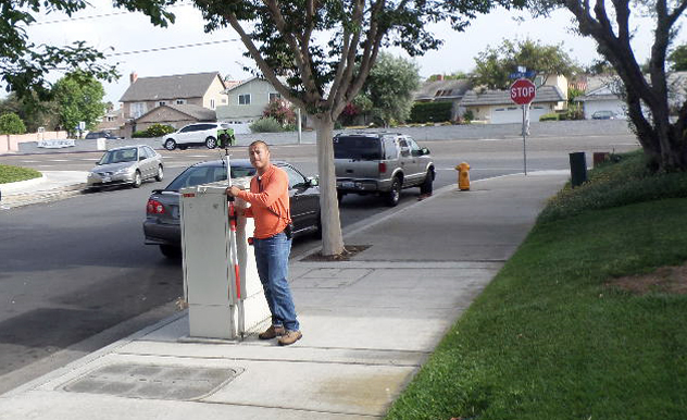
A survey to establish or re-establish the boundaries or limits of a property or easement identified by a deed of record is commonly referred to as a Boundary Survey.
The first step in performing a boundary survey is a search for evidence such as existing property corner monuments (both on the subject property and on adjacent properties), block corners, subdivision corners, and section corners. Once a sufficient amount of monumentation and other evidence (fences and other lines of occupation) are located, a series of measurements is performed.
These measurements are then compared to the legal descriptions for the subject parcel and adjoining parcels. A determination of the property boundary is made, giving consideration to the accuracy of found monuments, seniority of the subject parcel, and any other evidence discovered.
After the determination of the boundary location, property monuments are placed at each angle point or change of direction, such as the beginning or end of a curve. The monument will usually be a steel pin driven flush with or beneath the surface of the ground.
A cap identifying the registration number of the surveyor responsible for setting the monument should be placed atop the steel pin.
If it is more practical, monuments may be placed on an extension of the line. These types of monuments are called offsets, and are usually found on sidewalks or tops of curbs. Offset monuments are easier to find and to protect from damage, but may be mistaken as the actual property corner.
When a property corner is set by a Licensed Land Surveyor, a Corner Record or Record of Survey must be filed with the local jurisdiction. The type of filing depends on the legal description of the property being surveyed.
If the legal description is a simple Lot in a Subdivision description then a Corner Record can be filed. If the legal description is a portion of a Lot or a mete and bounds description, then a Record of Survey must be filed.

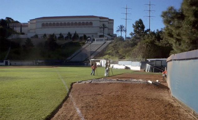
Topographic Survey
The purpose of a TOPOGRAPHIC SURVEY is to gather survey data about the natural and man-made features of the land, as well as its elevations.
From this information a three- dimensional map may be prepared.
OUR BACKGROUND
Alta Land Surveying, Inc. is a family oriented business employing twelve to fourteen full time employees including two licensed professional land surveyors and two licensed professional engineers.
We pride ourselves in being accurate and perfect in our work. We want to give you a place where you can find immediate answers as well as service you can be happy with.
Alta Land Surveying, Inc. is committed to giving beyond what is required in each individual circumstance and we endeavor to treat everyone the way we would expect to be treated.
We strive to accomplish this goal by placing service before profit, honor and standing of the profession before personal advantage, and public welfare above all other considerations.
Our staff members are committed to providing quality service and their dedication assures personalized attention to each project.
Our staff forms a broad and solid foundation of technical skills and professional competence that will form a broad and solid foundation for your projects and organization.
In addition to the established experience and diversity of our staff, we have made a commitment to continuing education for all of our employees, helping them be their best.
As an established firm with a local presence in California, we possess a familiarity and community pride that is valuable to your organization.
Contact
EMAIL US
Jamie Nelson
jamie@altalandsurveying.com
ADDRESS
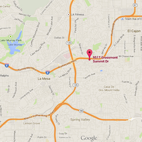
9517 Grossmont Summit Drive
La Mesa, CA 91941
GET DIRECTIONS
CALL US
Tel: (619) 713-2582
Fax: (619) 579-2582
Certified DBE SMBE SB
MAP